 Enlarge
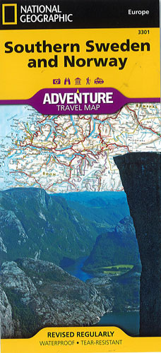
Southern Sweden and Norway National Geographic Adventure
$30.00
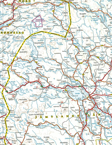
This NGS Southern Sweden and Norway map provides global travelers with the perfect combination of detail and perspective in a highly functional travel tool. The hundreds of points of interest that highlight the diverse and unique destinations within the countries such as World Heritage sites, museums, castles, archeological sites, churches and more make this map invaluable to travelers. National parks, winter sports resorts, and campsites are plentiful in both countries for those wishing to explore the picturesque mountains, extensive coastlines, fjords and ancient forests. Cities and towns are easy to locate with the user-friendly index. Transportation aids include a clearly marked road network complete with distances and roadway designations and the locations of airports, airfields, railroads, ferry routes, lighthouses, harbors and international border checkpoints.
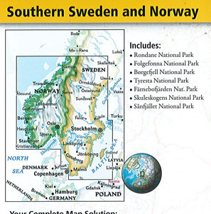
The northern half of the region is shown on one side of the print map spanning from the counties of Nordland to Hordaland in Norway and Norbotten to Kopparberg in Sweden. The reverse side of the map covers the southern portion of Norway from Bergen south to include the cities of Stavanger, Oslo and Kristiansand. It also shows the southernmost section of Sweden from the city of Malmö on its border with Denmark north to Borlänge.
Printed on durable synthetic paper, making it waterproof, tear-resistant and tough — capable of withstanding the rigors of international travel.