 Enlarge
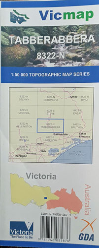
Tabberabbera 8233-N 1:50,000 Vicmap
$14.00
This Victorian topographic map covers from Castlemaine in the centre north to Hunter Corner in the centre south including the Mitchell River NP & southern part of the Alpine NP
Enlarge
$14.00
This Victorian topographic map covers from Castlemaine in the centre north to Hunter Corner in the centre south including the Mitchell River NP & southern part of the Alpine NP