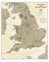
 Enlarge
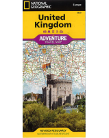
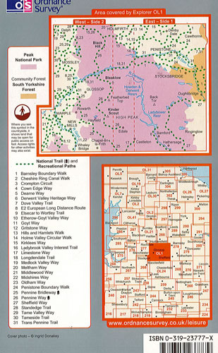
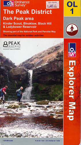
The Peak District Dark Peak area Ordnance Survey
$23.00
$20.00
This Peak District map is part of the Ordnance Survey Explorer series (Map OL1). It concentrates on the Dark Peak area which includes Kinder Scout, Bleaklow, Black Hill and Ladybower Reservoir. It shows part of the National Park and Pennine Way. It has a clear legend and gives general, tourist and leisure information. It indicates the National Trail and all paths that can be accessed by the public.
Scale: 1:25 000