 Enlarge
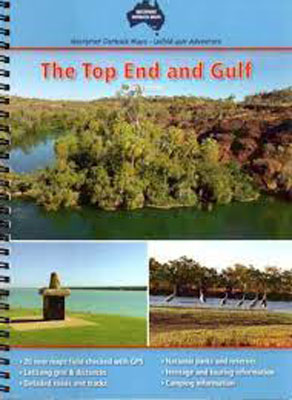
The Top End and Gulf Atlas & Guide Westprint
$30.00
The Top End and Gulf Atlas & Guide - covers the area from Croydon and Julia Creek in Queensland across to Wyndam & Halls Creek in Western Australia. It contains all the information you need to explore this remote area of Australia. It contains 20 new maps which have been field checked with GPS, lat/long grid and distances, detailed roads and tracks, national parks and reserves and heritage, touring and camping information. A clear legend is given with important information regarding mechanical repairs, medical emergencies and fuel.
Edition 1