 Enlarge
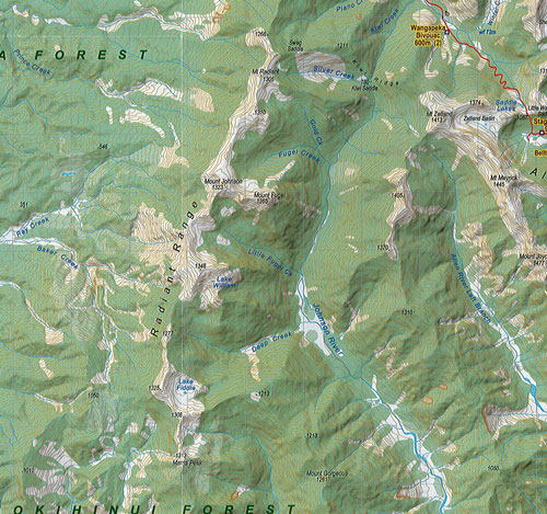
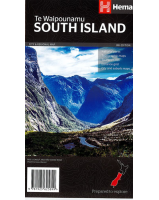
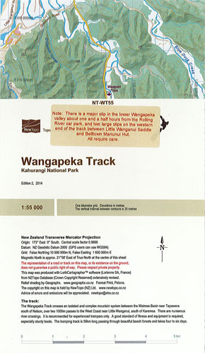
Wangapeka Track - Kahurangi National Park
$25.00
NewTopo's Wangapeka Track is a beautiful, compact topographic map showing this 59km tramping track which crosses isolated, complex mountain systems and numerous river crossings within the Kahurangi National Park of the South Island. It has a clear reference and shows positions of huts, each hut's capacity and the walking times between each hut. A great resource for all those wanting to complete this challenging track.
Scale 1:55,000