 Enlarge
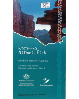
Uluru- Kata Tjuta National Park
$12.00
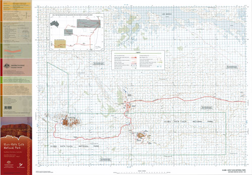
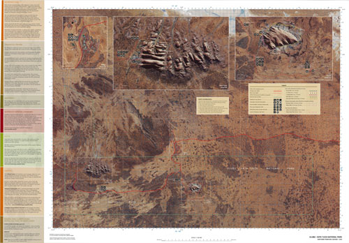
This map contains natural and constructed features including roads, foot tracks, hydrography, vegetation, contours (interval 20m), localities and some administrative boundaries. The reverse side of the map depicts the same area using a satellite image with an overlay of major roads, foot tracks, tourism features and facilities as well as insets featuring Uluru, Kata Tjuta and Yulara. This is map 3 of Australia's Red Centre National Landscapes series.