 Enlarge
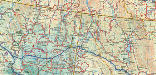
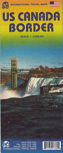
US Canada Border ITMB
$20.00
This ITMB map of US Canada Border will help you to plan your trip, to prepare your itinerary, and to travel independently. It depicts the border states and their provinces. It starts with British Columbia and Washington/Idaho/Montana and carries on eastward through the Prairie/Midwest region, before dipping south to the Great Lakes region and terminating with New York City. This map potrays international highways, border crossings and major cities.
This map is depicted in the scale of 1:2,500,000.