 Enlarge
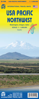
USA Pacific Northwest ITMB
$13.00
This ITMB map of the USA Pacific Northwest covers the states of Washington, Oregon and Idaho along with a portion of British Columbia on the north and a bit of California/Nevada on the south. This map starts in Vancouver in the north and goes to Eureka and Redding in the south while the reverse side includes a fair amount of Montana. This scale of this map allows the expanse of land and its roadways to be depicted along with noteable sites such as Squaw Creek Canyon, Winthrop, WA, or the Old Perpetual Geyser in Oregon. Printed on waterproof paper.
This map is depicted in the scale of 1:1,000,000.