 Enlarge
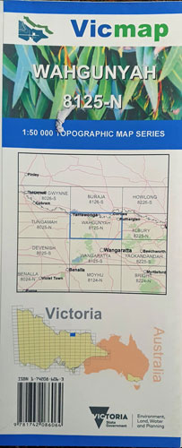
Wahgunyah 8125-N 1:50,000 Vicmap
$14.00
This Victorian topographic map covers from Yarrawonga in the north west across to Corowa & Rutherglen in the north east & spouth east to 50km south of Springhurst. Includes Lake Mulwala in the north east & Warby Ovens NP through the middle