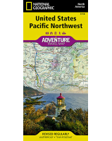
 Enlarge
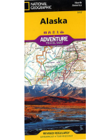
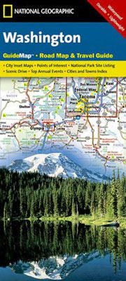
Washington State National Geographic
$15.00
NGS' Washington map is designed to meet the needs of travelers with detailed and accurate cartography and loads of helpful information about the state's many attractions. Cities and towns are clearly indicated and easy to find in the user-friendly index. A complete road network of highways, tollways and other roads, along with distances noted in miles for major highways, will help you find the route that's right for you. National and state parks, public campsites, visitor information centers, airports, ski areas, ports of entry and more are included.
Inset maps of Olympia, Yakima, Spokane and Seattle provide greater detail of these urban centers. Olympic, Mount Rainier and North Cascades national parks and Mount Adams Scenic Drive are highlighted with maps and additional information. A handy chart of park service sites and climate information are also included.
Printed on durable synthetic paper, making it waterproof, tear-resistant and tough — capable of withstanding the rigors of international travel.