 Enlarge
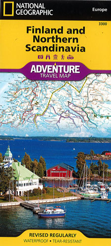
Finland and Northern Scandinavia National Geographic Adventure
$30.00
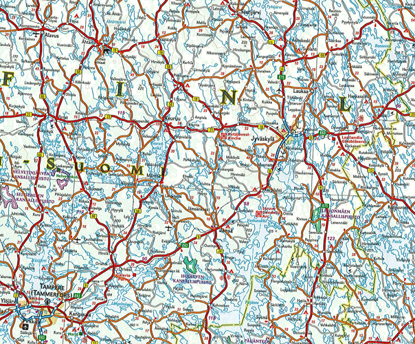
This NGS map of Finland and Northern Scandinavia is designed to meet the unique needs of adventure travelers with its detailed and accurate information. Cities and towns are easy to find in the user-friendly index. Motorways, expressways and other roads are clearly designated and include distance in kilometers so travelers can easily plan their best route. National parks, castles, churches, campsites, winter sports resorts, archeological sites, museums and scenic viewpoints are all highlighted.
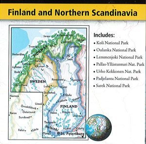
The southern half of the region is shown on one side of the map spanning from Finland's southern tip to the city of Rovaniemi in the north. Sweden's eastern coast is included from the city of Umea north to Jokkmokk. The reverse side of the map covers the northern half of the region from Norway's island of Vega north to the far reaches of its Norwegian and Barents Sea coasts. Northern Sweden is shown from Hemavan to the country's northern borders with Norway and Finland and the northern portion of Finland is included from Salla to the border with Norway.
Printed on durable synthetic paper, making it waterproof, tear-resistant and tough — capable of withstanding the rigors of international travel.