 Enlarge
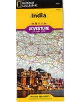
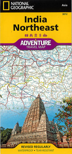
India Northeast National Geographic Adventure
$25.00
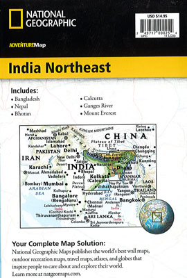
NGS' India Northeast map combines detail and perspective in a highly functional travel tool. It is designed to meet the needs of adventure travelers with its detailed, accurate information, user-friendly index and clearly marked road networks with distances and designations for expressways, major roads and secondary routes. Hundreds of points of interest such as World Heritage sites, archeological sites, temples, national parks and reserves, beaches, campsites and more are noted. Additional aids including the location of airports, airfields, harbors, anchorages, railroads, ferry routes and border crossings will help you plan your route.
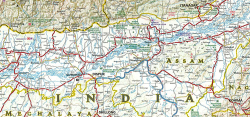
One side of the print map covers the far northeastern corner of India, from its border with China and Bhutan to the north as well as Myanmar (Burma) to the east and Bangladesh to the south. The states of Arunachal Pradesh, Assam, Manipur, Meghalaya, Mizoram, Nagaland and Tripura are included. The reverse side shows the region extending from Nepal in the north to the Bay of Bengal in the south, Kolkata (Calcutta) and the states of Andhra Pradesh, Bihar, Chhattisgarh, Jharkhand, Madhya Pradesh, Orissa, Uttar Pradesh and West Bengal.
Printed on durable synthetic paper, making it waterproof, tear-resistant and tough — capable of withstanding the rigors of international travel.