 Enlarge
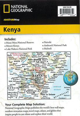
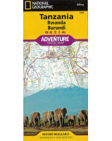
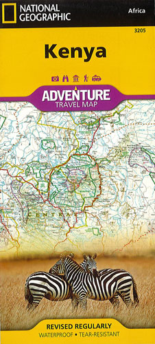
Kenya National Geographic Adventure
$25.00
This NGS map of Kenya is designed to meet the needs of travelers with its detailed and accurate information. It includes the location of cities and towns with a user-friendly index as well as a clearly marked road network complete with distances and designations for expressways and roads. Scenic routes, four-wheel-drive tracks and other trails are shown for those seeking to explore more remote regions. National parks, World Heritage sites, forts, archeological sites, campsites, hot springs, beaches, diving areas and more are clearly indicated.
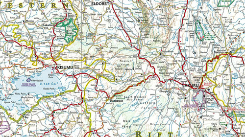
One side of the Kenya print map details the southern region of the country, from The Indian Ocean to the east, to the bordering country of Tanzania to the southwest. The reverse side of the map details the northern region, showing the bordering country of Ethiopia to the north, Somalia to the east, and Uganda to the west. Travel aids such as airports, airfields, railways, petrol stations, park entrances and border crossings are highlighted.
Printed on durable synthetic paper, making it waterproof, tear-resistant and tough — capable of withstanding the rigors of international travel.