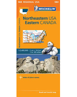
 Enlarge
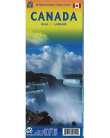
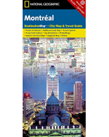
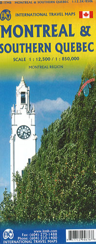
Montreal & Southern Quebec ITMB
$15.00
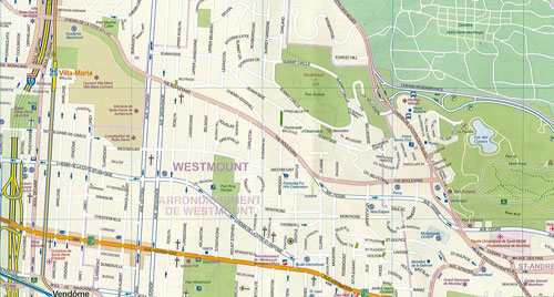
This ITMB map of Montreal & Southern Quebec is highly detailed and easy-to-use, helping you plan your route and discover the region. On one side of the map is a street plan of Montreal’s central districts, extending from the Intermodal Railway Terminal in the west to the Olympic Park in the east, and across the St. Lawrence River to include the islands of Ste-Hélène and Notre-Dame as well as the Sherbrooke University at Longueuil. This plan highlights main traffic features, one way streets and clearly indicated subway lines and stations. Symbols indicate various places of interest and facilities, including hotels. The plan is accompanied by a small map of the Montreal conurbation including Laval, plus a diagram of the city’s transit network.
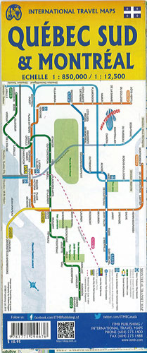
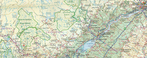
The reverse side has an indexed road map at 1:850,000 covering southern Quebec, extending from Ottawa in the south-western corner to the tip of the De Gaspé Peninsula and north. The road network is shown on a base with altitude colouring (bands and heights in feet) with names of larger rivers and lakes. National parks and protected areas are clearly marked with symbols indicating campsites, ports and ferry crossing on the St. Lawrence River.
This map is double-sided, waterproof and tear-resistant.