 Enlarge
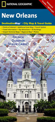
New Orleans National Geographic
$18.00
One side of this NGS New Orleans map is loaded with information on points of interest in and around New Orleans including a map of Louisiana plantations. A map of the region and a diagram of Louis Armstrong New Orleans International Airport provide additional tools for navigating the area.
A detailed street map of the city is shown on the reverse side. Hundreds of points of interest including monuments, parks, theaters, churches, hotels, visitor centers and more are easy to find with the multi-language legend. Transportation aids such streetcars, shuttles and ferries are depicted. Additional services such as police stations, post offices and hospitals are included as well.
Printed on durable synthetic paper, making it waterproof, tear-resistant and tough — capable of withstanding the rigors of international travel.