 Enlarge
Oslo Bergen & Norway South ITMB
$23.00
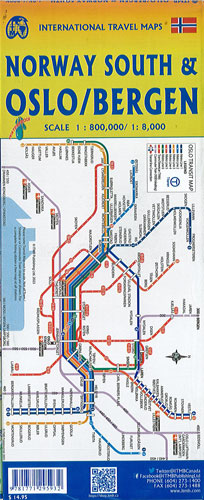
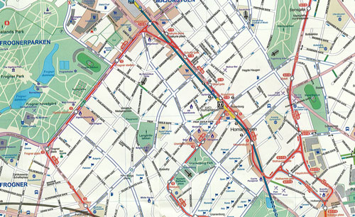
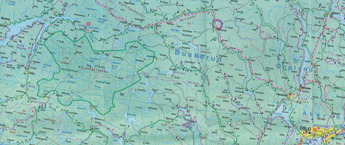
This map of Oslo/Bergen & Norway South by ITMB IS @ 1:10,000 & 1:200,000. Oslo and coastal Bergen are both shown in detail on this map as urban areas. The information shown are hotels, parks, shopping areas, and attractions as well as the street pattern and Oslo Fjord ferry lines. The reverse side covers all of southern/central Norway as far north as Narvik, including the Lofoten Islands ( @ 1:1.200.000) and the adjacent regions and bordering Sweden. This covers the area 90% of all travelers to the country want to see with complete index of all cities and towns in the map, so is a huge bonus. As well, the map is printed on waterproof paper, so is durable, that also allows for removable markings in the map (with erase markers/ water based pen). Norway, as a country, is quite large, so including a detailed road map of this much of it adds considerable value to the map. The back cover also includes a map of the transit system of Oslo. Map insets : a map of the Oslo region (1:77.500 scale) including access roads , an Oslo transit map (Metro, tram, commuter trains), a map of common Oslo / Bergen connections (Bus, rail, Ferry lines)