 Enlarge
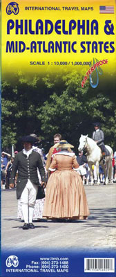
Philadelphia & Mid-Atlantic States ITMB
$13.00
This ITMB map of Philadelphia & Mid-Atlantic States of USA is waterproof and tear-resistant. One side offers a clear street plan of central Philadelphia, covering the districts from the Delaware River to the western side of the Schuylkill River. On the reverse an indexed road map is depicted extending from Boston to Jacksonville in North Carolina and inland to Niagara Falls and Pittsburgh. Stations, roadways and carparks are clearly indicated while places of interest and topography are highlighted.
Depicted in the scale of 1:10,000/1,000,000.