 Enlarge
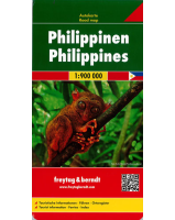
Philippines Itmb
$20.00
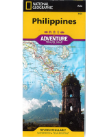
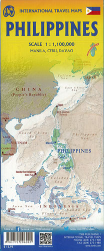
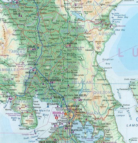
The Philippines is an archipelago of hundreds of islands. The largest is Luzon, with the capital of Manila included. This occupies all of side 1. Side 2 covers the southern half of the country, with its major island being Mindanao. A large inset map of Manila is included, as well as insets of Cebu and Davao. Major ferry routes between the many islands are also shown, as are major touristic attractions. The very scenic island of Palawan is on the upper left of side 2.