 Enlarge
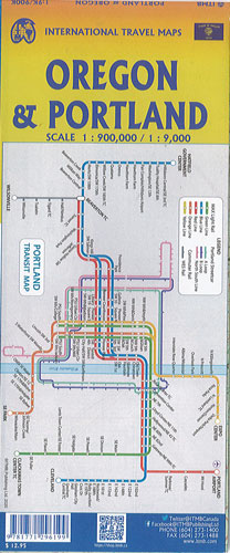

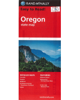
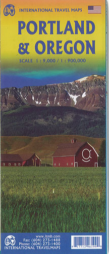
Portland & Oregon ITMB
$20.00
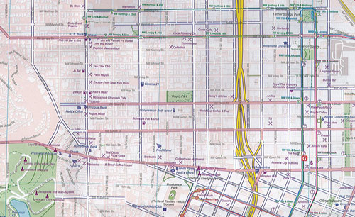
This map of Portland @ 1:9,000 and the State of Oregon @ 1:900,000. The map of Portland on one side covers from the Northwest Freemont Bridge in the north (the I-5 motorway) south to Ross Island, and from Washington Park in the west to Chavez Blvd. in the east. rapid transit line, the convention center, the downtown, and all the bridges across the Willamette River.
The reverse side of the street shows the State of Oregon in excellent detail. Most of the developed portion of the State is in the western portion, along the Pacific Ocean. Inland, the Great Sandy Desert occupies much of the southern part of the State, while majestic Mount Hood, an inactive volcano, dominates the North. The far eastern portion connects to the State of Idaho, the north to Washington State and the south to California and Nevada. The map includes a set of "must see" destinations.