 Enlarge
Saudi Arabia Giz Geographical
$25.00
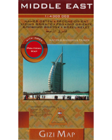
This map of Saudi Arabia @ 1:3,000,000 by Gizi covers the whole of the Arabian Peninsula and the adjoining coastal areas around the Gulf and the Red Sea. It features shaded-relief and elevation tinting for excellent topographic detail and tourist information.
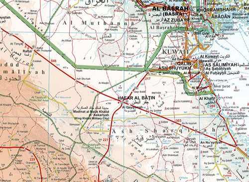
Vivid altitude coloring with graphics for deserts, flood plains and salt flats shows the terrain. Oases, water wells and numerous others are marked. The map provides plenty of names of geographical features: peaks, mountain chains, plains, etc. The surrounding seas have depth tinting with soundings and shows coral reefs.
Road network indicates distances on main and most secondary roads and includes dirt paths. The map shows railway lines, locations of local airfields and main shipping routes. Symbols highlight places of tourist interest including world heritage sites, famous mosques and archaeological remains, national parks and nature reserves, diving sites, etc. Locations with access restricted to Muslims only are marked.
The map also shows the regions’ numerous oil and gas wells, both inland and in the Gulf, many with individual names. In Saudi Arabia, Oman and Yemen, as well as in the adjoining region of Iraq internal administrative boundaries are shown with names of the provinces.
Names of main towns and important geographical features are also given in Arabic. The map had latitude and longitude lines at intervals of 2º. Map legend includes English.
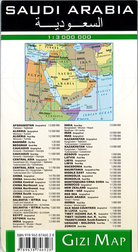
The index, placed on the reverse side, has separate lists of locations for each of the countries of the Arabian Peninsula. Also included is a political map of the whole region showing main road connections.