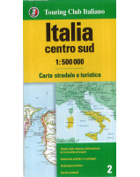
 Enlarge
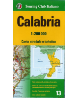
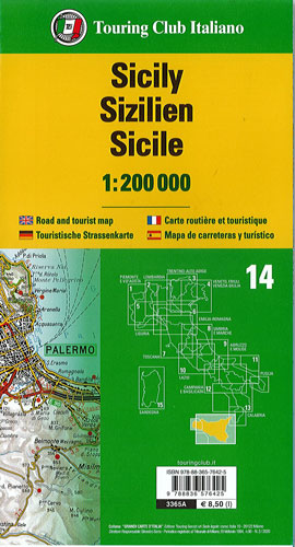
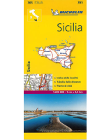
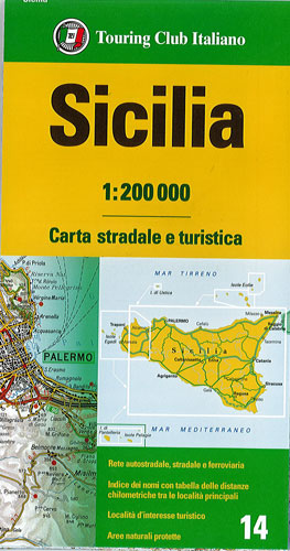
Sicily Touring Club Italiano
$25.00
This map of Sicily by Touring Club Italiano’s series of regional road maps of Italy is @ 1:200,000 and is used by millions of locals and tourists alike. The island is presented on two generously overlapping panels. Coverage includes the tip of the mainland showing the ferry connections from Reggio di Calabria to Messina. Insets show the Aeolian (Lipari) Islands, Ustica, Egadi Islands, Pantelleria and the Pelagie Islands.
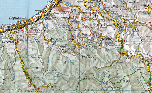
TCI maps have subtle but very effective relief shading plus spot heights to present the topography. Names of mountain ranges, valleys, peaks, etc. are shown and national parks and other protected areas are prominently highlighted. Road network is presented in great detail, from motorways to dirt tracks navigable only with difficulty. Minor roads are very clear and easy to read and, where necessary, are drawn without generalizing their course, showing the twists and turns across the mountainous terrain. Steep roads are annotated with three levels of gradient markings. Scenic routes are highlighted. Motorways have the usual features such as toll barriers, services, etc. Railway network shows stations and level crossings and, where appropriate, ferry routes are marked. In mountainous areas refuges, cable car lines, chair lifts, etc. are marked. Towns and villages of particular interest are highlighted in three grades, with symbols indicating various monuments, castes, churches, etc. On the reverse each title has an index plus a national distance table. Map legend includes English.
Printed on light, waterproof, tear-resistant plastic paper and comes in a plastic sleeve.