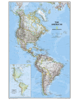
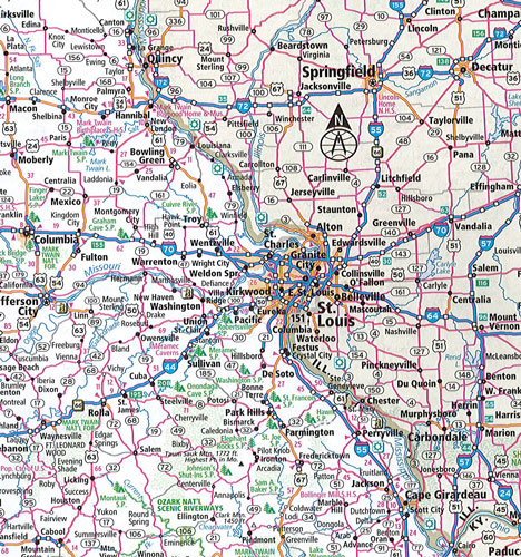
 Enlarge
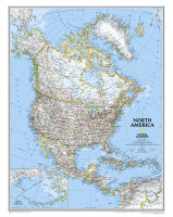
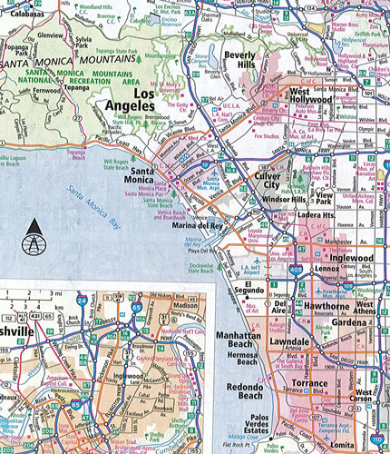
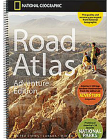
United States Canada Mexico Road Atlas Rand McNally
$25.00
This USA Canada & Mexico Atlas by Rand McNally contains maps of every U.S. state and Canadian province, an overview map of Mexico plus detailed maps of over 50 North American cities all conveniently packaged for travel. Includes a mileage chart showing distances between 77 cities and national parks with driving times map. Spiral binding allows the book to lay open easily. Other Features: Rand McNally presents The National Parks by Decade, a review of park history that begins more than a century ago with the first wild and wonderful place to achieve park status - Yellowstone. Road construction and conditions phone numbers and websites are included along with Tourism websites and phone numbers for every U.S. state and Canadian province on map pages. A must have if travelling in the North Americas ...................