 Enlarge
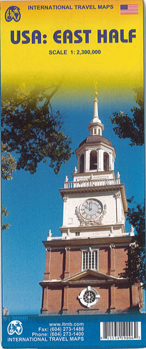
USA East Half ITMB
$15.00
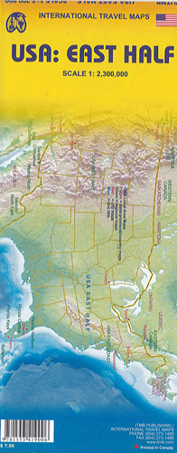
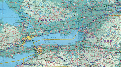
This map of the USA East Half by ITMB has one side covering the Atlantic seaboard from Maine to Florida, with insets of Washington, the Florida Keys and Orlando/Disneyworld. The other side overlaps but takes in as far west as Dallas and Omaha, from the Canadian border to New Orleans and a bit of Mexico. Both sides show all Interstates (motorways) and toll roads (called Turnpikes), as well as all State highways and as many secondary roads as possible. National and State heritage and conservation sites have been noted, as well as a tremendous number of parks and historic sites. The United States of America is a fascinating place.