 Enlarge
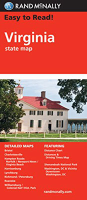
Virginia Rand McNally
$18.00
This Rand McNally map of Virginia shows all Interstate, US, state and county highways. It also includes a distance chart and a driving times map. In addition, climate data, points of interest, a state park chart and a detailed index is contained. This map covers the areas of Alexandria/Arlington, Bristol, Charlottesville, Hampton Roads: Norfolk/Newport News/Virginia Beach, Lynchburg, Richmond/Petersburg, Roanoke, Shenandoah National Park, Washington, D.C. & Vicinity and Williamsburg/Colonial National Histoy.