 Enlarge
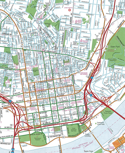
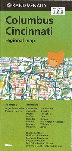
Columbus & Cincinnati Rand McNally
$12.00
$9.00
This Rand McNally map of Columbus & Cincinnati depicts all interstate, U.S., state and county highways along with various points of interest such as schools, parks, airports and shopping malls. A full street index is also contained to help users to find their route with ease. This map covers Chillicothe, Circleville, Dayton, Fairfield, Hamilton, Hillsboro, Lancaster, Marysville, Middletown, Rossville, Springfield, Troy, Urbana, Washington Court House, Wilmington and Xenia. Enlargements of Cincinnati downtown, Columbus downtown, Dayton downtown, Port Columbus Intl' Aiport and Cincinnati-Northern Ky. Int'l Airport are also included.