 Enlarge
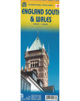
England South & Wales Itmb
$20.00
This England South (or Southern England) including Wales is great for those who fly into one of London's four airports and combine a visit to the city with an opportunity to travel to various destinations within striking distance of London.
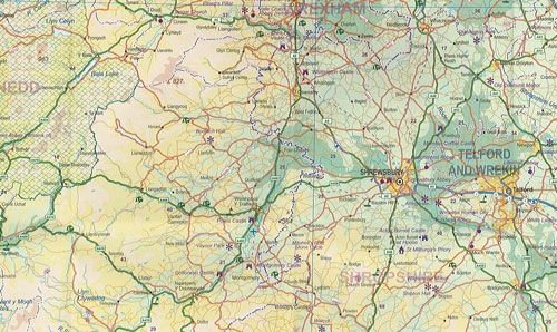
England is so incredibly rich in heritage and scenic attractions that it is extremely difficult to portray the country as a map of the entire entity. As a result, England lends itself nicely to be divided into a central/northern portion and a southern portion. At this scale, all of southern England and all of Wales can be shown in good detail, especially the motorways, A-type roads, and most B-type roads. Most C-level village roads are also there, but the scale available makes them somewhat difficult to see. At this scale there are many more place names than is normally possible, but there are limits.
The map is quite detailed but not cluttered and covers an area that one can drive in a four to five hour time period from Heathrow. Road improvements have extended a visitor's ability to cover more distance. Somewhat surprisingly, the map also shows how the 'greenbelt' surrounding London is steadily disapearing as the city continues to expand. The artwork, is accurate, detailed, attractively portrayed and hopefully of useful & interesting to those visiting England.