 Enlarge
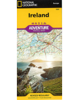
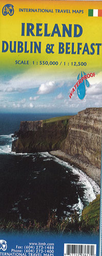
Ireland Dublin & Belfast ITMB
$20.00
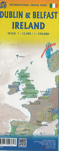
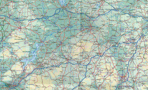
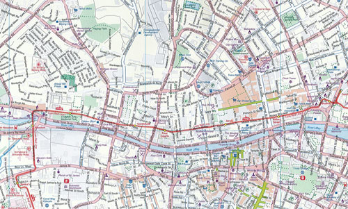
This Ireland Dublin & Belfast map by ITMB @ 1:550,000 has the island of Eire on one side although it is divided into two parts: Ulster, or Northern Ireland being part of the United Kingdom (Britain) and the larger southern portion forming the independent Republic of Ireland. Both have very interesting points of interest. The road network for the island is excellent, with motorways radiating out from Dublin and Belfast to ensure easy access to cities such as Cork, Waterford, or Portadown. Scenic A-level and secondary roads make driving a pleasure. The reverse side of the sheet has two equally large inset maps, one of Dublin and the other of Belfast. Each city map covers a goodly portion of each city, not just the centre; Dublin, for example, is framed by the Grand Canal as much as by the River Liffey, and Belfast by its extensive pedestrian walkways. This is a map for the visitor wanting to spend a week touring the island. Iit is on waterproof paper, so can be opened up and used as protection in case of rain!