 Enlarge
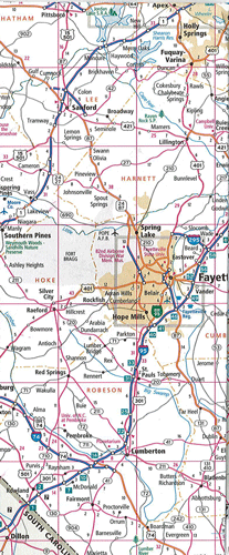
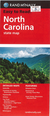
North Carolina Rand McNally
$18.00
This Rand McNally map of North Carolina displays all Interstate, U.S. state and county highways along with various points of interest. Its detailed index, legend, state park chart, mileage chart and driving times map will help users to reach their destination with ease. Also included is a helpful on-the-road toolbox along with climate data, state facts and visitor center information. This map provides coverage of Asheville, Charlotte & Vicinity, Downtown Charlotte, Fayetteville, Hickory, The Triad: Winston-Salem/Greensboro/High Point, The Triangle: Raleigh/Durham/Chapel Hill, Wilmington and Great Smoky Mountains National Park.