 Enlarge
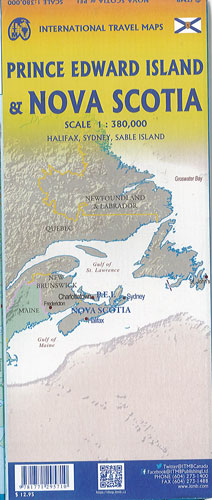
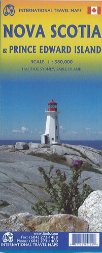
Nova Scotia & Prince Edward Island ITMB
$20.00
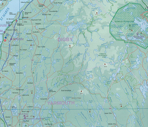
This map of Nova Scotia & Prince Edward Island @ 1:380,000 by ITMB is double sided. The historic Canadian province of Nova Scotia (New Scotland) was founded by the French as part of Acadia (now centered in New Brunswik). Nova Scotia entered into discussions with other British American colonies, culminating in the founding of Canada as an independent country in 1867. Prince Edward Island followed a similar course, joining Canada in 1873. This map portrays both provinces in excellent detail, noting all major attractions, towns, parks, roads, and ferries. Inset maps of Halifax/Dartmouth and Sydney are included. Prince Edward Island is joined to the mainland by the exceptionally long Confederation Bridge and is a lovely, pastoral, province, home to Anne of Green Gables.