Great Britain & Ireland
-
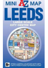
Leeds Mini AZ
This mini, foldable map of Leeds is part of the well-known AtoZ series. It is a large scale city…
$12.00$10.00
-
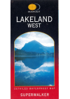
Lakeland West Harvey
Harvey's Lakeland West - a walkers map @ 1:25,000 and as used by the Patterdale Mountain Rescue…
$28.00
-
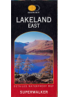
Lakeland East Harvey
Harvey's Lakeland East - a walkers map @ 1:25,000 and as used by the Patterdale Mountain Rescue…
$28.00
-
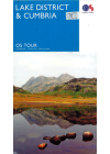
Lake District & Cumbria Ordnance Survey
This touring map of Lake District & Cumbria will help users to plan their route with…
$17.00
-
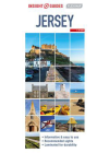
Jersey Insight Flexi
This Insight Guides map of Jersey is easy to use with its detailed mapping and comprehensive…
$15.00$12.00
-
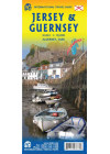
Jersey & Guernsey ITMB
This ITMB map of Jersey & Guernsey covers Jersey on one side. The reverse side…
$17.00
-
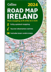
Ireland Road Map Collins
Full colour road map of the Republic of Ireland and Northern Ireland at 9 miles to 1 inch…
$17.00
-
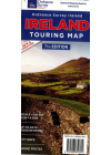
Ireland Ordnance Survey
One of Ireland's most popular maps, featuring detailed road network, holiday information, scenic…
$28.00
-
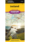
Ireland National Geographic Adventure
This NGS map of Ireland is designed to meet the needs of adventure travelers with its detailed and…
$25.00
-
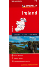
Ireland Michelin 712
Single sided map of Ireland with index, distances, city Maps of Dublin and Belfast, scenic routes…
$20.00
-
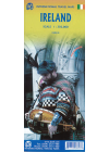
Ireland ITMB
A double sided map of Ireland by ITMB @ 1:350,000. One side covers the northern half and this…
$20.00
-
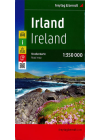
Ireland Freytag & Berndt
This map of Ireland by Freytag & Berndt is a double sided print @ 1:350,000 having the northern…
$25.00
-
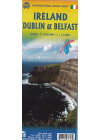
Ireland Dublin & Belfast ITMB
This Ireland Dublin & Belfast map by ITMB @ 1:550,000 has the island of Eire on one side…
$20.00
-
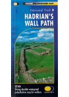
Hadrian's Wall Path Harvey
This Harvey Hadrian's Wall Path follows this route of this historic trail in detail. General…
$40.00
-
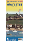
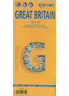
Great Britain ITMB
This map of Great Britain combines a detailed road map with a touristic sites map @ 1:720,000…
$20.00
-
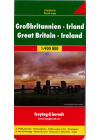
Great Britain & Ireland Freytag & Berndt
Explore Great Britain & Ireland with this Freytag&Berndt double-sided road map. The best way…
$25.00
-
Great Britain Borch
Folded road and travel map in color. Scale 1:800,000 showing motorways to secondary roads. Legend…
$25.00
-
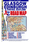
Glasgow Edinburgh & Central Scotland AZ
This A-Z map of Glasgow, Edinburgh & Central Scotland maps south of Glencoe and Montrose, to the…
$23.00
-
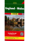
England Wales Freytag & Berndt
This map of England Wales by Freytag & Berndt @ 1:400,000 is double sided with the Western half…
$25.00
-
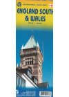
England South & Wales Itmb
This England South (or Southern England) including Wales is great for those who fly into one of…
$20.00