Great Britain & Ireland
-
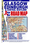
Glasgow Edinburgh & Central Scotland AZ
This A-Z map of Glasgow, Edinburgh & Central Scotland maps south of Glencoe and Montrose, to the…
$23.00
-
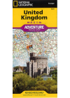
United Kingdom National Geographic Adventure
The NGS United Kingdom Adventure Map is detailed, accurate and user-friendly. One side covers…
$25.00
-
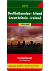
Great Britain & Ireland Freytag & Berndt
Explore Great Britain & Ireland with this Freytag&Berndt double-sided road map. The best way…
$25.00
-
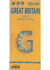
Great Britain Borch
Folded road and travel map in color. Scale 1:800,000 showing motorways to secondary roads. Legend…
$25.00
-
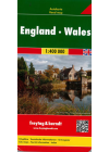
England Wales Freytag & Berndt
This map of England Wales by Freytag & Berndt @ 1:400,000 is double sided with the Western half…
$25.00
-
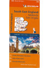
South East England - Midlands, East Anglia #504 Michelin
South East England, The Midlands and East Anglia #504 is an indexed touring map @ 1:400,000 by…
$25.00
-
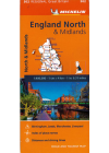
England North & Midlands #502 Michelin
Thi North Englanc & Midlands regional touring map @ 1:400,000 by Michelin contains the practical…
$25.00
-
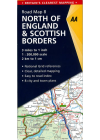
North of England & Scottish Borders AA
This map combines clear design and an easy-to-read scale with more road detail to ensure that you…
$25.00
-
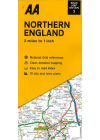
Northern England AA
This map combines clear design and an easy-to-read scale with more road detail to ensure that you…
$25.00
-
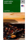
Northern England Ordnance Survey
The Ordnance Survey Road map series are single sided folded maps with the 8 maps providing GB wiht a…
$25.00
-
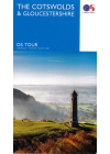
The Cotswolds & Gloucestershire Ordnance Survey
The Ordnance Survey Tour Map series is a must for anyone visiting Britain's most popular holiday…
$25.00
-
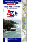
South West Coast Path AZ
This AZ Atlas of the South West Coast Path follows along the Somerset, Devon, Cornwall and Dorset…
$25.00
-
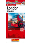
London 3 in 1 City Map Hallwag
This 3 in 1 city map of London by Hallwag provides a map with transport information and city…
$25.00
-
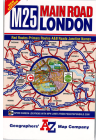
London M25 Main Road AZ
This London M25 road map by AZ shows the area within and adjoining to London’s orbital…
$25.00
-
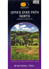
Offa's Dyke Path North Harvey
Harvey's Offa's Dyke Path North (Knighton to Prestatyn) is a clear and easy to read, waterproof map…
$25.00
-
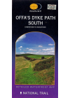
Offa's Dyke Path South Harvey
Harvey's Offa's Dyke Path South (Chepstow to Knighton) is a clear and easy to read, easy to fold…
$25.00
-
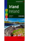
Ireland Freytag & Berndt
This map of Ireland by Freytag & Berndt is a double sided print @ 1:350,000 having the northern…
$25.00
-
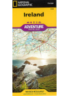
Ireland National Geographic Adventure
This NGS map of Ireland is designed to meet the needs of adventure travelers with its detailed and…
$25.00
-
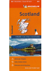
Scotland Michelin 501
This map of Scotland @ 1:400,000 is an indexed touring map by Michelin and is particularly good for…
$25.00
-
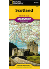
Scotland National Geographic Adventure
This NGS map of Scotland provides global travelers with the perfect combination of detail and…
$25.00