Victoria
-
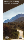
Grampians National Park Parks Victoria
This map is ideal for 4WDing & touring the Grampians National Park. The map highlights all of…
$6.00
-
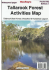
Tallarook Forest Activities Rooftop
Coverage includes Tallarook State Forest, Mount Hickey, Warragul Rocks, Falls Creek Reservoir…
$6.00
-
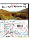
Upper Murray Adventure Rooftop
Coverage extends from Albury / Wodonga to Corryong and from the Murray River, south to Mitta Mitta…
$6.00
-
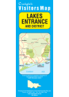
Lakes Entrance & District Craigies
The Lakes Entrance & District Map extends from Bruthen in the North to Loch Sport in the South…
$7.00
-
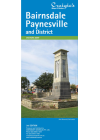
Bairnsdale Paynesville & District Craigies
The map extends from Bruthen in the North to Loch Sport in the South, Nowa Nowa in the East and…
$8.00
-
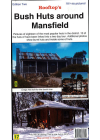
Bush Huts Around Mansfield Rooftop
Each hut is described with a brief background history and a colour photograph. The detailed…
$8.00
-
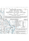
Alpine National Park Wabonga Plateau Section Victoria S.R. Brookes
#4 1998
$8.00
-
 Sale
Sale
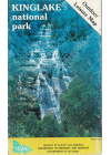
Kinglake National Park Vicmap
This Kinglake National Park Outdoor Leisure map @ 1:25,000 has the topographical detail of the…$10.00$8.00
-
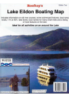
Lake Eildon Boating Rooftop
This a special map focusing on all the relics, ruins and sites submerged when the lake is full and…
$9.00
-
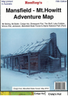
Mansfield - Mt. Howitt Adventure Rooftop
Map coverage is from Mansfield and Lake Cobbler in the north to Jamieson, Kevington and Mount Sunday…
$9.00
-
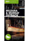
Mildura and Murray Outback RACV
RACV's regional map of Mildura and Murray Outback provides maps of the region and the town centres…
$10.00
-
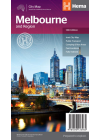
Melbourne & Region Hema
A city and suburbs road map of Melbourne that has additional information and maps for discovering…
$10.00
-
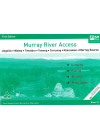
Murray River Access Book No. 3
Albury - Wodonga - Howlong - Corowa - Wahgunyah - Rutherglen - Yarrawonga - Mulwala. This book…
$10.00
-
Murray River Access Book No. 5
Murrabit - Lake Boga - Swan Hill - Murray Downs - Nyah West - Tooleybuc. This book includes good…
$10.00
-
Murray River Access Book No. 6
Lake Hume - Woomargama NP - Jingellic - Walwa - Tallangatta. This book includes good mapping (GPS…
$10.00
-
Murray River Access Book No. 7
Tooleybuc - Boundary Bend - Robinvale - Euston - Wemen. This book includes good mapping (GPS…
$10.00
-
Murray River Access Book No. 8
Wemen - Colignan - Kings Billabong - Gol Gol - Buronga - Mildura. This book includes good mapping…
$10.00
-
Murray River Access Book No. 9
Mildura - Wentworth - Neds Corner. This book includes good mapping (GPS compatible) and information…
$10.00
-
Murray River Access Book No. 10
Neds Corner - Lindsay Island - Chowilla - Renmark - Paringa. This book includes good mapping (GPS…
$10.00
-
Murray River Access Book No. 11
Ulupna Island - Barmah - Edward River - Mathoura - Deniliquin. This book includes good mapping (GPS…
$10.00
-
Murray River Access Book No. 12
Jingellic - Walwa - Tintaldra - Corryong - Khancoban - Murray Source. This book includes good mapping…
$10.00
-
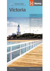
Victoria State Hema Handy
The eastern half of Victoria is on one side of this map and the reverse side has the western…
$10.00
-
Murray River Access Book No. 1
Yarrawonga - Mulwaa - Cobram - Barooga - Tocumwal - Ulpena Island. This book includes good mapping…
$10.00
-
Murray River Access Book No. 2
Barmah - Echuca - Moama - Torrumbarry Weir. This book includes good mapping (GPS compatible) and…
$10.00
-
Murray River Access Book No. 4
Gunbower Island - Cohuna - Barham - Koondrook - Murrabit. This book includes good mapping (GPS…
$10.00
-
Ballarat Grampians & Spa Country UBD 382
A regional touring map covering Harcourt & Campbells Bridge in the north, Cressy in the
south…$11.00
-
Cohuna - Echuca - Gunbower Forest Activities Hayman's
Including the Murray River Red Gum Forestsl Perricoota, Koondrook, Campbell's Island, Guttrum…
$11.00
-
Dandenong Ranges & Lysterfield Hills Meridian
The Dandenong Ranges are one of Melbourne’s favourite playgrounds and walks in the parks some…
$11.00
-
Hattah-Kulkyne Meridian
1:75,000 scale topographic map covering the Hattah-Kulkyne National Park and the Murray Kulkune Park…
$11.00
-
Lerderderg & Werribee Gorges Meridian
1:30,000 scale topographic map of the Lerderderg State Park and 1:20,000 map of Werribee Gorge State…
$11.00
-
Mornington Peninsula Walks Meridian
Double-sided multi-scaled map of Mornington Peninsula National Park and Arthurs Seat State Park…
$11.00
-
Albury Wodonga Murray River High Country Ubd 381
This map extends north to Finley, Culcain & Holbrook in NSW, east to Bullioh, Mitta Mitta…
$12.00
-
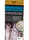
Bendigo Shepparton UBD 383
This double sided map is a regional touring map of this part of Victoria with the map…
$12.00
-
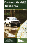
Dartmouth - Cobberas 4WD Spatial Vision #5
Covering Omeo, Mt Anderson Peak, Thredbo, Mt Benambra, and Lake Dartmouth, the map has a unique…
$12.00
-
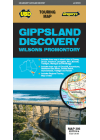
Gippsland Discovery Wilsons Promontory UBD 386
This Gippsland Discovery & Wilsons Promontory touring map extends from the eastern suburbs of…
$12.00
-
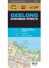
Geelong Suburban UBD 385
This map of Geelong by Ubd is a double sided map that includes the Geelong city @ 1:12,500. On one…
$12.00
-
Great Ocean Road Ubd 308
This map gives detailed coverage of Anglesea, Apollo Bay, Camperdown, Colac, Geelong City Centre…
$12.00
-
Melbourne to Adelaide Ubd 345
Includes maps of the Victoria and South Australia region between Melbourne & Adelaide…
$12.00
-
Mt Disappointment - Kinglake Ranges Forest Activities Rooftop
This map includes Reedy Creek, Wandong, Upper Plenty, Mount Disappointment, Hazeldene…
$12.00
-
Murray - Sunset 4WD Spatial Vision #1
This map has the latest topographic map base, compiled from up to date VicMap Book data which is…
$12.00
-
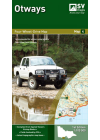
Otways 4WD Spatial Vision #4
This map is specifically formulated for 4 wheel drivers as it includes the latest topographic…
$12.00
-
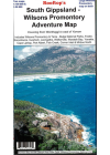
South Gippsland - Wilsons Promontory Adventure Rooftop
Map coverage includes Wilsons Promontory & Tarra - Bulga National Parks, Foster, Korumburra…
$12.00
-
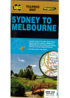
Sydney to Melbourne UBD 245
Sydney and Melbourne highlighting the Hume & Princes Highways and also includes tourist…
$12.00
-
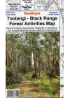
Toolangi - Black Range Forest Activities Rooftop
Coverage includes Toolangi, Murrindindi, Buxton, Narbethong, Wilhelmina Falls, Stanleys Homestead…
$12.00
-
Snowy Plains, Mt Kent & Lake Tali Karng Victoria S.R Brookes
#16 2001
$12.00
-
Beechworth - Albury - Wangaratta Adventure Rooftop
Murray Valley and North East Victoria. This map covers from Rutherglen to Hume Weir and…
$13.00
-
Barmah - Shepparton - Deniliquin Adventure Hayman's
This map includes the River gum National Park. The map coverage at 1:100,000 scale is from…
$13.00
-
Jamieson - Licola Adventure Rooftop
This map covers from Goughs Bay, Jamieson and the Howqua River in the north to the Upper Thomson…
$13.00
-
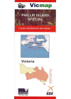
Phillip Island Special 25k Vicmap
This is a clip from the Victorian Index to show the area of coverage for the 7920-4N & 7920-1N…
$13.00
-
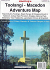
Toolangi - Macedon Adventure Rooftop
Map coverage is from Alexandra, Narbethong and Buxton in the east to Cobaw, Lancefield, Macedon and…
$13.00