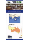
Victoria Topographic Maps Vicmap
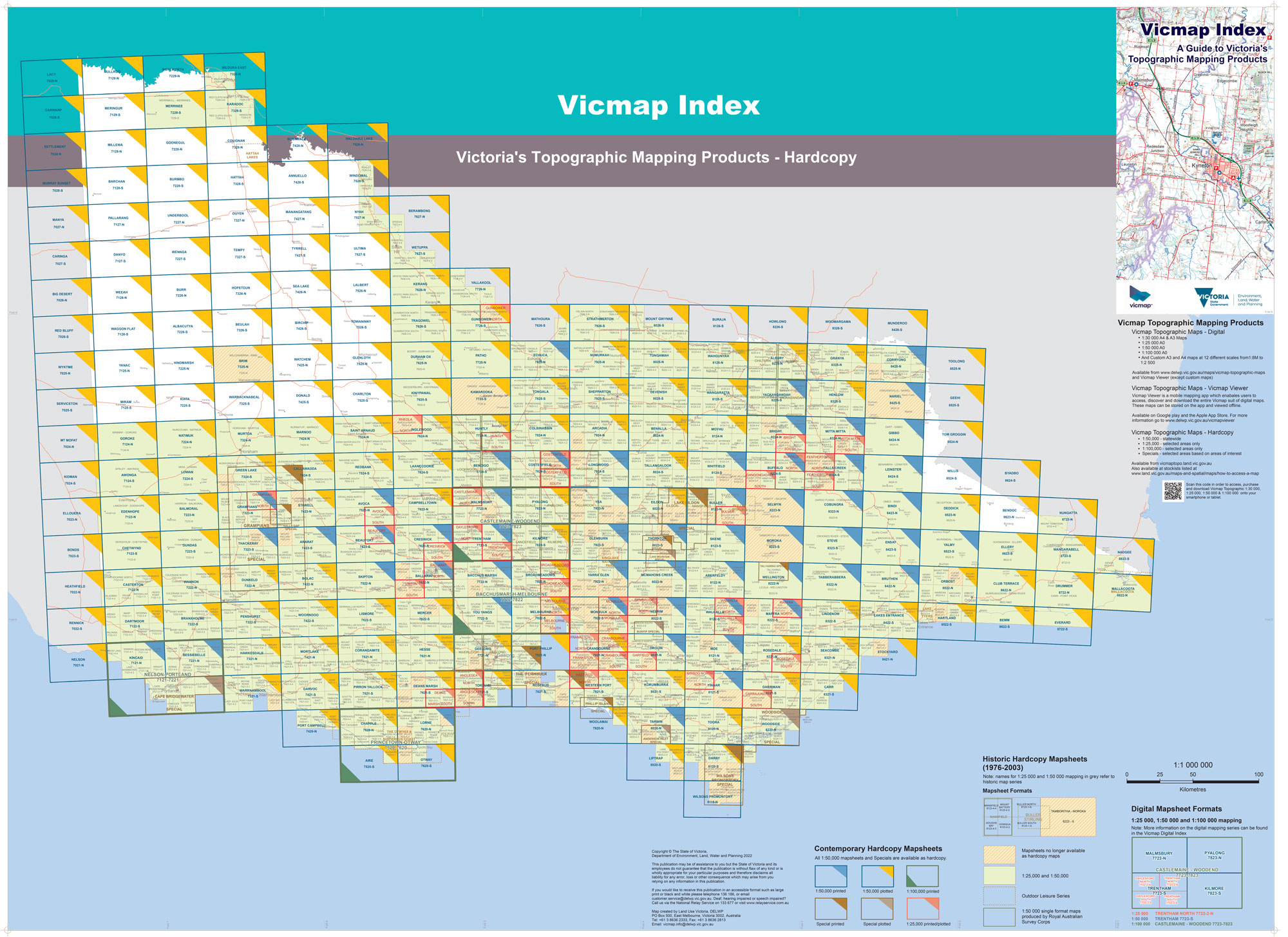
Click on image to open in a new tab then zoom in to your area
Topographic Maps Victoria
Whether you’re an amateur or a seasoned hiker, topographic maps are essential because they give you must-have detail about the terrain you’re navigating. Besides the natural features of the diverse Australian landscape and vast coastal areas, these maps indicate built features.
All Scales printed in-house on either 105gsm, waterproof paper or laminated/folded.
Email or phone us for any map required that is not listed, or if you need help with finding the map you need.
-
 Sale
Sale
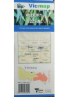
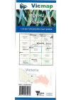
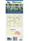
Abbeyard 8224-3-2 1:25,000 Vicmap
Abbeyard is in the centre of the map with Mt Cready Corner NW, Dandongadale River apperaring…
$14.00$10.00
-
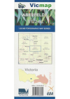
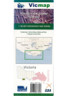
Aberfeldy 8122-N 1:50,000 Vicmap
This Vicmap topographic map covers the Yarra Rangers State Park, Matlock, Woods Point Historic Site…$14.00
-
Albury 8225-N 1:50,000 Vicmap
This Vicmap topographic map covers from Albury in the north/east, 8kms west of Chiltern in the…
$14.00
-
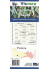
Ballarat 7622-N 1:50,000 Vicmap
This 1:50,000 Vicmap covers Ballarat city and the area to the South and West including Mount…
$14.00
-
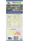
Buffalo 8224-S 1:50,000 Vicmap
This 1:50,000 Vicmap covers from Macs Point in the centre north and the top of the Alpine National…
$14.00
-
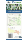
Buller 8123-N 1:50,000 Vicmap
This Vicmap topographic map covers Mansfield, Sawmill Settlement, Mount Buller, Howqua Hills…
$14.00
-
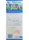
Buraja 8126-S 1:50,000 Vicmap
This Vicmap topographic map covers from the top of Lake mulwal south east across to Corowa in the…
$14.00
-
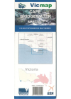
Cape Bridgewater Special 1:50,000 Vicmap
Cape Bridgewater Special 1:50,000 topographic map is a combination of 7121-S Bridgewater and 7221-S…
$14.00
-
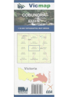
Cobungra 8323-N 1:50,000 Vicmap
This 1:50,000 Vicmap covers part of Alpine Nationaal Park and state forests around Dargo High Plains…
$14.00
-
Drummer 8722-N 1:50,000 Vicmap
This Vicmap topographic map covers from Noorinbee in the north to Tamboon in the south. It includes…
$14.00
-
Ensay 8423-S 1:50,000 Vicmap
This Victorian topographic map covers Swifts Creek, Tambo River and nearby state forests.
$14.00
-
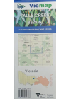
Falls Creek 8324-S 1:50,000 Vicmap
This Vicmap topographic map covers from Freeburgh in the north west, across to Mount Wills, south…
$14.00
-
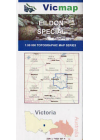
Eildon Special 50k Vicmap
This map includes the whole of Lake Eildon plus Mansfield, Jamieson, Eildon, Goughs Bay, Howqua…
$14.00
-
Geehi 8525-S 1:50,000 Vicmap
This Vicmap topographic map covers from Biggar in the north west, Thredbo in the south and out to…
$14.00
-
Gibbo 8424-N 1:50,000 Vicmap
This Vicmap topographic map covers Lake Dartmouth in the western third down to Lower Tableland on…
$14.00
-
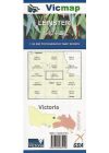
Leinster 8424-S 1:50,000 Vicmap
This Vicmap topographic map covers Benambra and Mitta Mitta River in the Victorian High Country…
$14.00
-
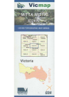
Mitta Mitta 8324-N 1:50,000 Vicmap
This Victorian topographic map covers Mount Beauty, Mitta Mitta and adjacent area of Alpine National…
$14.00
-
Moroka 8223-S 1:50.000 Vicmap
This Vicmap topographic map covers part of Alpine National Park in Victoria. From the Upper…
$14.00
-
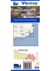
Mallacoota 8822-N 1:50,000 Vicmap
Croajingolong National Park east of Mallacoota. Entire Mallacoota Inlet, Cape Howe Wilderness, Gipsy…
$14.00
-
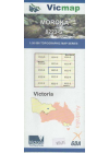
Moyhu 8124-N 1:50,000 Vicmap
1:50,000 Vicmap topographic
$14.00
-
Nadgee 8823-S 1:50,000 Vicmap
This Victorian topographic map covers over the NSW border in the north west, Wonboyn Lake in the…
$14.00
-
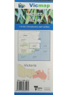
Nariel 8425-S 1:50,000 Vicmap
This Victorian topographic map covers Wabba Wilderness Park and surrounding State Forests in…
$14.00
-
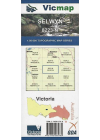
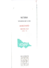
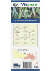
Selwyn 8223-N 1:50,000 Vicmap
This Victoria topographic map covers a large portion of Victoria's Alpine National Park including…
$14.00
-
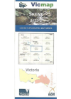
Skene 8123-S 1:50,000 Vicmap
This Victorian topographic map covers the Lake Eildon headwaters, Jamieson, and upper raches of the…
$14.00
-
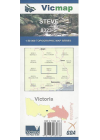
Steve 8223-S 1:50,000 Vicmap
This Victorian topographic map covers Dargo, Crooked River, Grant and part of Dargo and Wonnangatta…
$14.00
-
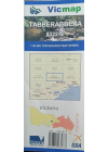
Tabberabbera 8233-N 1:50,000 Vicmap
This Victorian topographic map covers from Castlemaine in the centre north to Hunter Corner in the…
$14.00
-
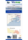
The Peninsula Special 1:50,000 Vicmap
Map coverage includes the whole of the Bellarine Peninsula on one side and Mornington Peninsula…
$14.00
-
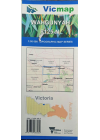
Wahgunyah 8125-N 1:50,000 Vicmap
This Victorian topographic map covers from Yarrawonga in the north west across to Corowa &…
$14.00
-
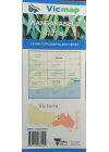
Wangarabell 8723-S 1:50,000 Vicmap
This Victorian topographic map covers from Combienbar centre west and across to Wangarabell centre…
$14.00
-
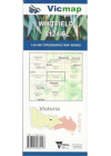
Whitfield 8124-S 1:50,000 Vicmap
This Victorian topographic map covers The High Country area between the King River and Broken River…
$14.00
-
Wilsons Promontory Special 1:50k Vicmap
Map coverage includes the whole of Wilsons Promontory National Park plus Yanakie and Duck Point at…
$14.00
-
Yackandandah 8225-S 1:50,000 Vicmap
This Victorian topographic map covers the Beechworth district, including part of Chiltern - Mt Pilot…
$14.00
-
Princetown - Otway 7520-7620 1:100,000 Vicmap
Princetown Otway 1:100,000 Vicmap covers from Port Campbell to Lorne & including Apollo Bay.
$14.00
Showing 1 — 33 of 33