 Enlarge
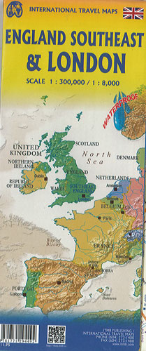
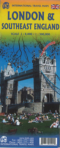
London & Southeast England ITMB
$20.00
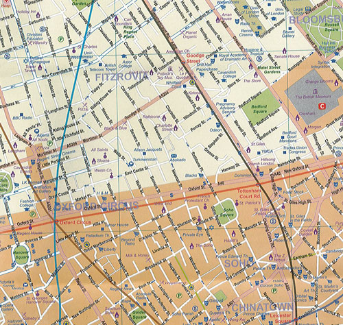
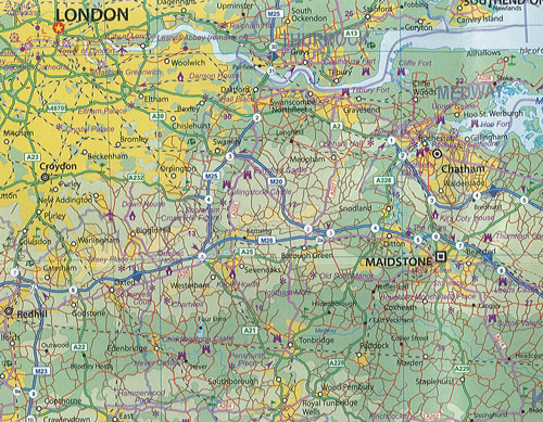
This London & Southeast England map by ITMB has Southeast England @ 1:300,000 on one side & the city of London @1:8,000 on the other. The London map has undergone an extensive revision, adding more hotels, pubs, and attractions. The ‘tube’ or underground lines have also been re-drawn and emphasized. Rail lines are shown from their appropriate rail station outwards also the overground lines are shown. Ideal for day trips out of London or for those driving. The western edge of the map is Bath and the northern extreme is either Northampton or Cambridge. The main roads in and out of London are shown, with motorways in blue, A roads in green (un-widened A roads in magenta) and thousands of B roads winding their way to lovely villages and secondary towns. Both sides of the map include a Top Attractions list.
The map is printed on high density plastic paper, both for durability and for inclement weather.